[special_heading title=”Odisha” subtitle=”Areas of Operation in Koraput District” animated=”no” font=”secondary” margin_bottom=”30″]
| State: Odisha | |
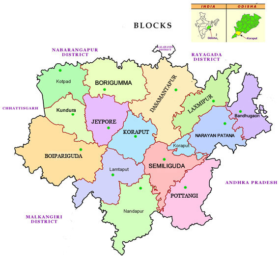
| District: Koraput | |
| Peoples Organisation – Lok Bikas Manch | |
| KORAPUT DISTRICT PROFILE | |
| ADMINISTRATIVE SETUP | |
| Area | 8,379 sq km |
| Blocks | 14 |
| Tehsils | 14 |
| Villages | 2,028 |
| Gram Panchayats | 226 |
| Rural/Urban Ratio | 83.15/16.85 |
| DEMOGRAPHY | |
| Population | 1,177,951 |
| Sex Ratio | 1,032 |
| Children (age 0 – 6 years) | 200,700 |
| Children (age 6 – 14 years ) | 240,800 |
| Average Family Size | 4 |
| No of Aganwadi’s Centre / Mini AWC’s | 2723/541 |
| No of Primary Health Centres / Sub Centers | 50/235 |
| Infant Mortality Rate | 136 |
| Maternal Mortality Rate | 218 |
| Literacy | 36 |
| ECONOMY | |
| HDI | 0.43 |
| GDP | 0.42 |
| Percapita Income Rs | 5,148 |
| Per capita- state | 5,264 |
| Forest Cover | 1879.41 sq km |
| Industrial Units | Hindustan Aeronautics Ltd, NALCO, Aluminium and Bauxite Extraction |
| Irrigated Area | 3,01,000 Ha |
| Affected by Left Wing Extremism | Yes, High |
| MGNREGA DATA 2017-18 AS ON 18.09.2017 | |
| No. of Families who got work | 54,873 |
| Average No. of Person Days | 31.81 |